How to Get to Langjökull Glacier: Driving, Directions & Basecamps
Standing on a slab of ice thousands of years old sounds like something reserved for seasoned mountaineers with crampons strapped to their boots. It is not. Langjökull is actually the closest glacier to Reykjavik, meaning you can leave a downtown cafe after breakfast and find yourself staring across white snowdrifts by midday. Figuring out how to get to langjokull glacier comes down to picking the right basecamp and understanding what Icelandic gravel does to a standard rental car.
The ice cap spans over 900 square kilometers across west-central Iceland. Because it has no single entrance gate or visitor center, you cannot just tap its name into Google Maps and hit drive. Depending on what you plan to do - whether that is boarding a monster truck, hiking into carved ice chambers, or riding a snowmobile across the crust - you will aim for one of two staging areas on opposite sides of the ice cap.
Book your langjokull glacier iceland experience:
Where is Langjökull Glacier? Distance and Map Logistics
If you look at any standard glacier map Iceland provides, Langjökull sits directly northeast of Reykjavik, positioned right behind the popular Golden Circle sightseeing route. Its western side borders the lush valley of Borgarfjörður, while its southern reaches spill down toward the Gullfoss waterfall and the central highlands. It is the second-largest ice cap in the country, trailing only Vatnajökull down southeast.
The sheer proximity makes it the classic glacier near Reykjavik for day trips. From the capital, the southern access points sit roughly 115 kilometers away, while reaching the western edge near Húsafell requires a drive of about 130 kilometers. Expect the drive to take anywhere from 1.5 to 2.5 hours in clear conditions. Winter, of course, throws all those estimates out the window.
Looking at a Langjokull glacier Iceland map can be deceiving because the roads cutting through the interior are not normal highways. The paved ring road disappears quickly once you turn inland. In its place, you find washboard gravel, mountain tracks known as F-roads, and seasonal paths that remain closed under heavy snow for up to eight months every year.
| Staging Area | Glacier Edge | Distance from Reykjavik | Road Surface | Best For |
|---|---|---|---|---|
| Húsafell / Klaki Basecamp | West | 132 km (to Húsafell) | Paved to Húsafell; rough dirt/gravel to Klaki | Ice tunnel tours & monster trucks |
| Gullfoss / Geldingafell | South | 118 km (to Gullfoss) | Paved to Gullfoss; loose rocky track beyond | Snowmobiling & southern viewpoints |
| Skjól Base | Southwest | 110 km | Fully paved (Route 35) | Tour bus pickups & gear fitting |
Can You Drive to Langjökull Glacier Yourself?
The short answer is no, you cannot drive onto the actual ice yourself. The longer answer is that you can drive very close to the edge if you have the right vehicle and the weather cooperates. People often ask can you drive to langjokull glacier in a regular two-wheel-drive sedan, and the answer to that is an emphatic no. The staging camps sit beyond the reach of asphalt.
Driving to the southern edge means taking Route 35 past Gullfoss. Beyond the waterfall parking area, Route 35 turns into a highland road. While it is no longer officially designated an F-road along that specific stretch, the gravel is unforgiving. Potholes appear suddenly, and loose basalt rocks can easily puncture a tire or crack an oil pan. During winter, standard rental cars are strictly forbidden by rental agencies from traveling north of Gullfoss.
If you head toward the western edge instead, you will travel on Road 550 or Road 551. These are wild tracks. You cross volcanic plains littered with sharp stones where rivers occasionally wash across low points after heavy rain. A sturdy four-wheel drive with decent ground clearance is mandatory here. If you drive a small city car onto these tracks, your rental insurance is voided instantly, leaving you on the hook for thousands of dollars in mechanical recovery costs.
Note: Most car rental contracts in Iceland explicitly ban two-wheel-drive vehicles from dirt corridors like Road 550 (Kaldidalur) and F-roads. Check your rental agreement before leaving Reykjavik so you do not risk enormous rescue fees.
Reaching the Western Edge: Klaki Basecamp and Húsafell
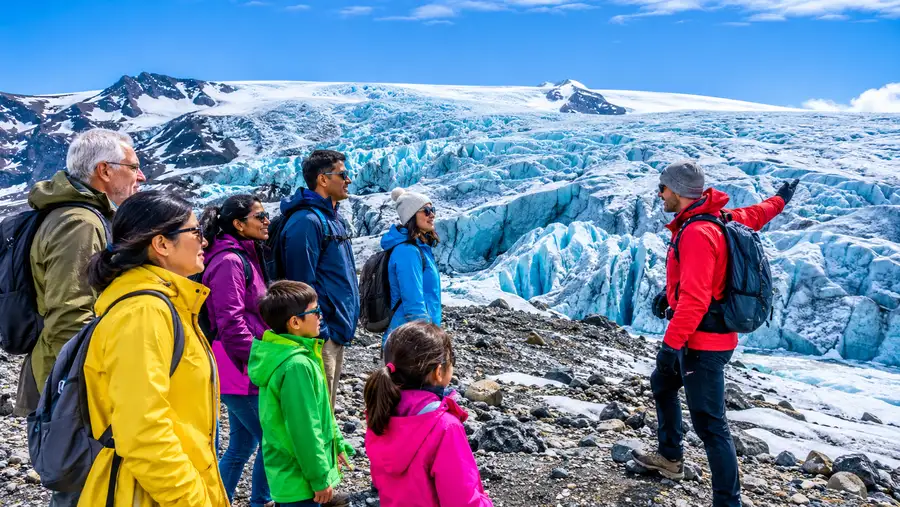
For most travelers heading toward the west, Húsafell serves as the primary gateway. It is a quiet oasis with birch trees, hot springs, and a gas station that marks the end of smooth cruising. Driving from Reykjavik to Húsafell takes about an hour and forty-five minutes via Route 1 north through the Borgarfjörður tunnel, then cutting east on Route 50 and Route 518.
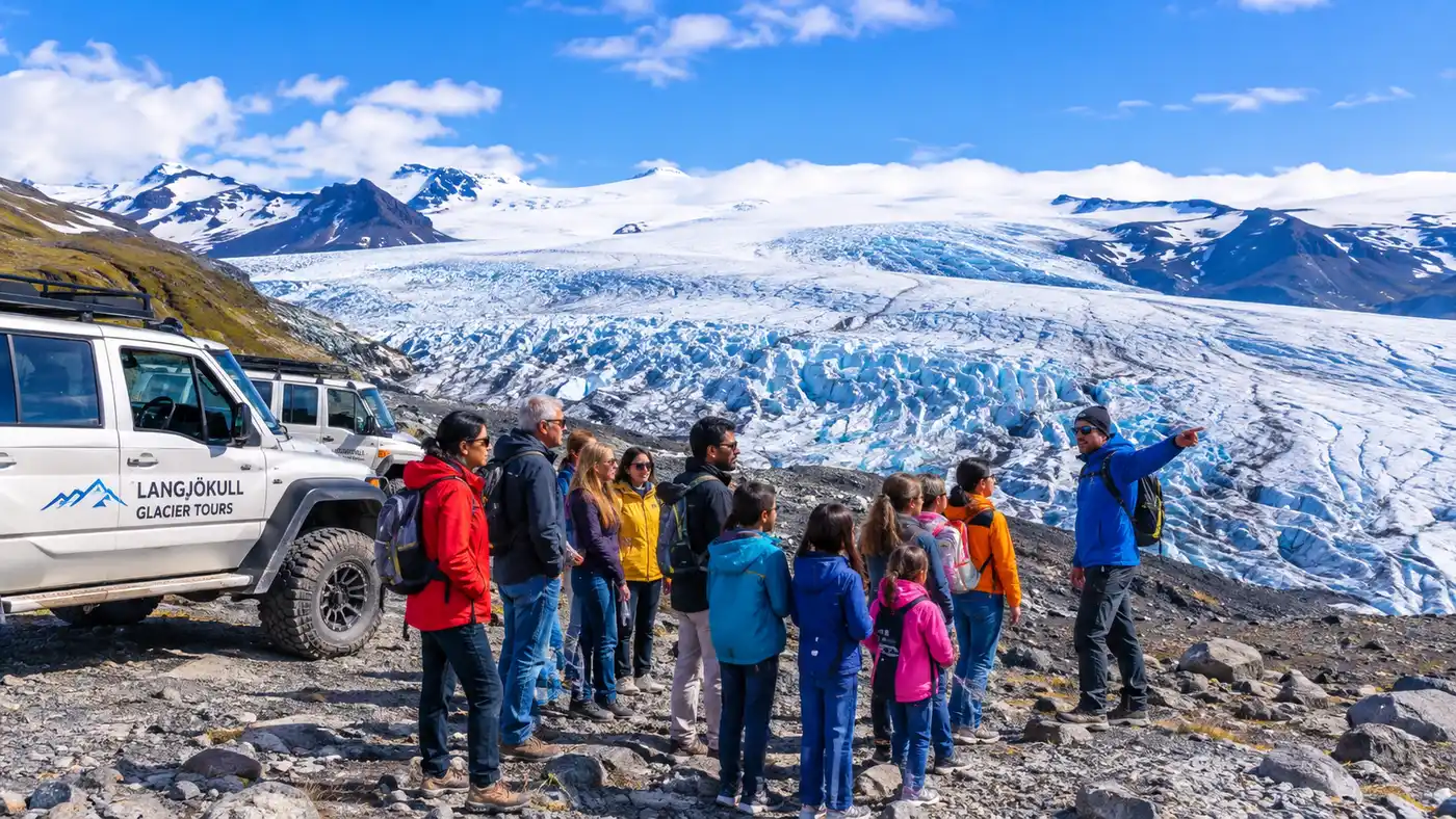
From Húsafell, reaching the actual ice shelf requires pushing up to Langjökull glacier Klaki basecamp. Klaki is little more than a gravel parking pad, a collection of weather-beaten shipping containers, and a fleet of eight-wheel-drive former missile trucks waiting to haul visitors onto the ice cap. This is the jumping-off point if you want to explore the Into the Glacier ice tunnel, which sits carved deep inside the western slope.
Pro tip: In summer, if you drive a solid 4x4 up Road 551 to Klaki, drop your tire pressure slightly before hitting the washboard gravel. It softens the teeth-rattling vibrations on the 40-minute drive up from Húsafell.
The road from Húsafell to Klaki (Road 551) opens only in the summer months, usually between late June and mid-September. Outside this tiny window, the road is buried under snowdrifts. During winter, visitors leave their rental cars parked down in Húsafell and catch a rugged commercial shuttle that powers through the drifts.
- Fuel up early: The last reliable fuel pump on this route is in Húsafell; fill your tank before heading into the dirt roads.
- Track the road status: Check the road administration website daily, since Road 551 closes without warning after heavy winds.
- Dress before arrival: Klaki Basecamp sits on a windswept plateau with no heated indoor lobby, so put on your thermals before parking.
Book your langjokull glacier iceland experience:
The Southern Route: Gullfoss, Skjól, and Snowmobile Staging
If your plan revolves around high-speed riding on the ice cap, you will likely head toward the southern edge. The Reykjavik to Langjökull glacier distance via the Golden Circle is roughly 115 kilometers to the initial pickup hubs. You take Route 1 east out of the city, cut onto Route 35 through the town of Reykholt, and pass Geysir before reaching Gullfoss.
Most travelers looking for Langjökull glacier snowmobiling tours meet their guides near Gullfoss Waterfall or the Skjól campsite cafe. From there, you leave your vehicle behind. Glacier operators load everyone into monstrous super jeeps equipped with 46-inch tires that can crawl over frozen boulder fields and glide across soft highland snow.
Taking an iceland glacier bus or organized transfer from Reykjavik is honestly the smartest move if you have never driven on packed mountain snow. These heavy shuttles handle the whiteout conditions that routinely paralyze tourists. You can sit back, look out at the barren volcanic expanse, and let a driver who was raised on these mountain passes do the work.
- Meet at Skjól: Many operators use this rural hostel and campsite along Route 35 as a rendezvous point with plenty of parking.
- Gullfoss Upper Carpark: If your tour departs from Gullfoss, confirm whether the bus meets at the main cafe or the upper gravel lot.
- Allow extra drive time: The Golden Circle route frequently backs up behind slow tour buses, so add at least 30 minutes to your GPS estimate.
Seasonal Realities: Summer Access vs. Winter Conditions
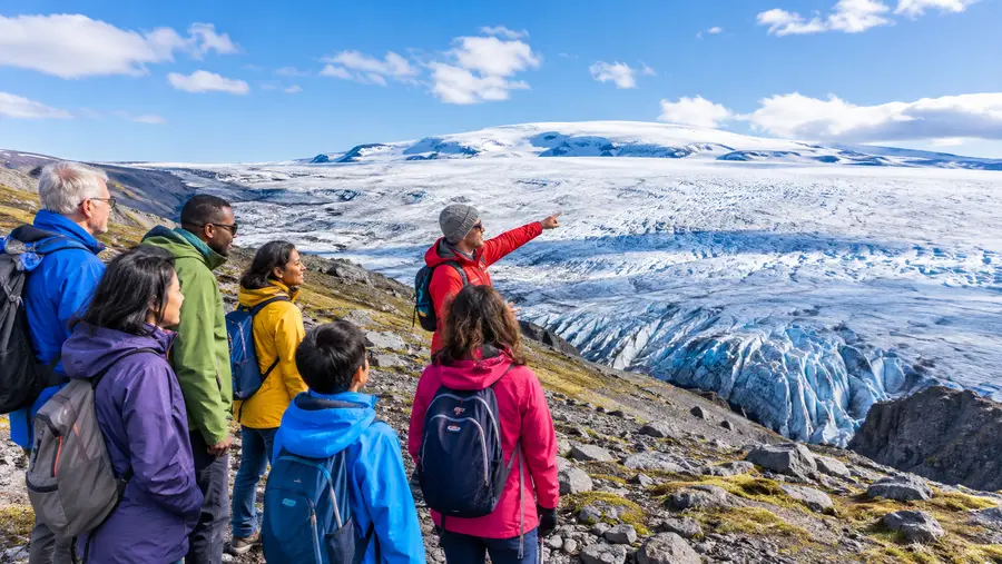
The experience of driving toward Langjökull shifts wildly depending on the calendar. Visiting Langjökull glacier in summer feels like an adventurous dirt-road road trip. The highland tracks are dry, the sun hangs in the sky for nearly 24 hours, and the mountain air smells like moss and cold runoff. You can take your time, pull off at scenic viewpoints, and watch the ice cap gleam against a blue sky.
Winter turns the entire region into a monochrome survival zone. Langjökull glacier weather is notoriously volatile; a bright morning in Reykjavik can translate to an 80-kilometer-per-hour blizzard on the glacier edge two hours later. Temperatures drop below minus fifteen Celsius, and the wind chill will freeze exposed skin in under three minutes.
Staying nearby is a smart way to make the trip easier. Finding hotels near Langjökull glacier allows you to avoid the long haul back to Reykjavik after a tiring day on the ice. On the western side, Hotel Húsafell provides high-end rooms and outdoor thermal pools right at the foot of the mountain track. On the southern side, cozy farm stays and boutique lodges dot the landscape between Geysir and Flúðir, giving you a quiet place to thaw out your fingers.
Never rely solely on your phone's navigation app out here. Cellular reception drops out in the dips between the volcanic ridges, and navigation apps routinely tell tourists to drive across tracks that have not seen a snowplow since October. Stick to marked routes, check the official road condition boards every morning, and respect the warning signs.
Frequently Asked Questions about how to get to langjokull glacier
What is the closest glacier to Reykjavik?
Langjökull is the closest glacier to Reykjavik accessible for regular tours and day trips. The staging hubs sit between 1.5 and 2.5 hours from the capital by car.
Can I drive a rental car directly onto Langjökull?
No. Standard rental vehicles are not allowed on the ice cap under any circumstances. You must drive to a staging basecamp and transfer to a specialized super jeep, snowmobile, or monster truck.
Do I need a 4x4 to reach Klaki Basecamp?
Yes, reaching Klaki Basecamp requires a four-wheel-drive vehicle with good clearance. Road 551 is a rough gravel track with large stones, washboard ruts, and potential mud that will damage smaller passenger cars.
How far is Langjökull glacier from Gullfoss?
The southern edge of the glacier sits about 35 kilometers north of Gullfoss waterfall along highland Route 35 and mountain tracks. Snowmobile operators typically drive this section in specialized super jeeps in about 45 minutes.
Quick Reference
- Driving time from Reykjavik: 2 to 2.5 hours
- Vehicle required for self-drive: High-clearance 4x4 (summer only)
- Main western basecamp: Klaki (near Húsafell)
- Main southern transfer point: Gullfoss / Skjól
- Active driving season for basecamps: Late June to mid-September
Book your langjokull glacier iceland experience:
Before You Hit the Road
Getting out to the ice is one of the most rewarding drives in Iceland, provided you treat the terrain with the respect it deserves. Do not try to shave twenty minutes off your travel time by cutting across unpaved shortcuts that your navigation system suggests. Stick to the known corridors, keep a close watch on the morning weather alerts, and make sure your tank is full before leaving the highway. Once you leave the asphalt behind and watch the vast white expanse of Langjökull rise up over the black volcanic plain, every bump in the gravel road suddenly makes total sense.
Read more about langjokull glacier iceland.